
A page dedicated to the conditions in the mountains where it can be important to keep up to date below with weather and snow.
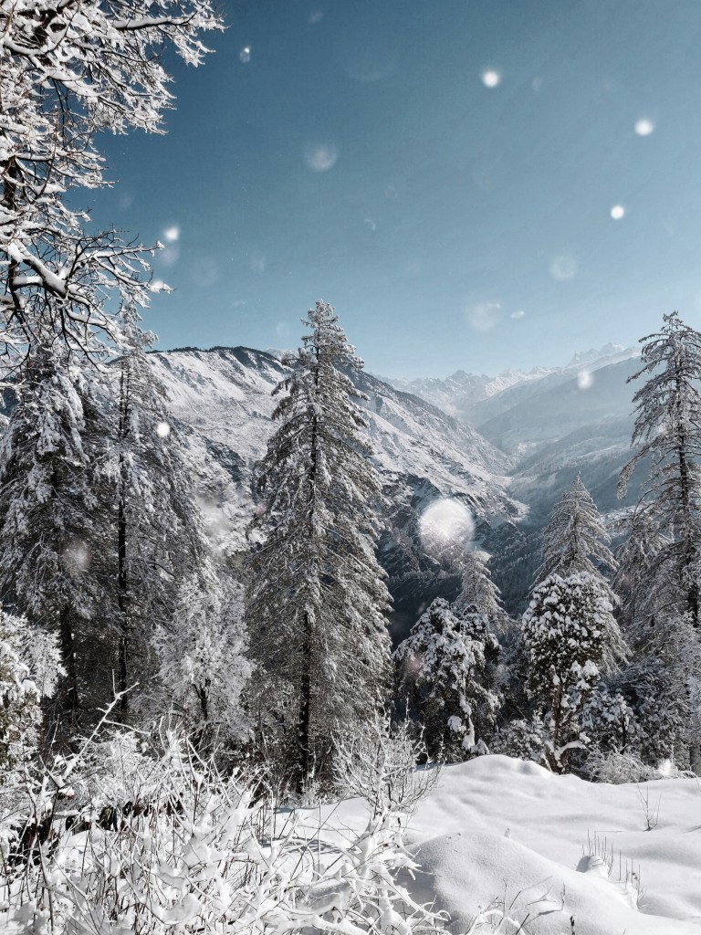
Early Snow Predictions
A very strong El Niño is the main driver. El Niño hit a record in September, +2.84 °C, the highest monthly value since 1982. Indications are that it could bring a mild, wet and stormy pattern in the early part of the season, though that may not automatically translate into more snow. Others may suggest that this stormy pattern will indeed bring large snowfalls – who is to know?
What Does That Mean?
A high snow line. Seasonal models point to plenty of snow above 1800 to 2000 metres, with more rain in the valleys.
Volatile November and December. One scenario describes proper storms alongside mild spells, with higher elevations building a decent base.
High resorts are better insulated. Above 2,500 metres, temperatures generally stay cold enough for consistent snowfall even in strong El Niño winters.
The later season looks stronger than the start. One forecaster’s outlook favours above-normal snowfall across the core of the Alps from France to western Austria. However, a separate seasonal breakdown shows a below-average signal for November to January and an above-average one from February to April
As of today – Snowfall on 8th October was expected to significantly improve glacier conditions, though it was nothing remarkable for the time of year.
Zermatt Weather:
https://zermatt.swiss/info/wetter
Val Thorens Weather:

